Romania's Lost Heritage
Anxious to settle mounting unrest on its northeastern boundaries along the Danube River, Rome mounted several campaigns to tame the Dacian Kingdom. Emperor Trajan's six year military efforts from 101 AD to 106 AD ended in the subjugation of the Dacian Kingdom when King Decebalus was finally defeated.
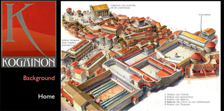
Top: Illustration of Rome by Radu Oltean with Trajan's Column top-right.
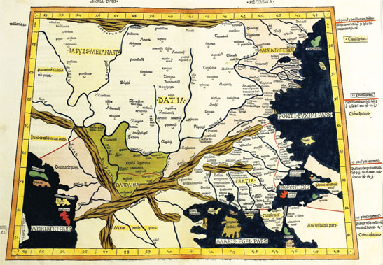
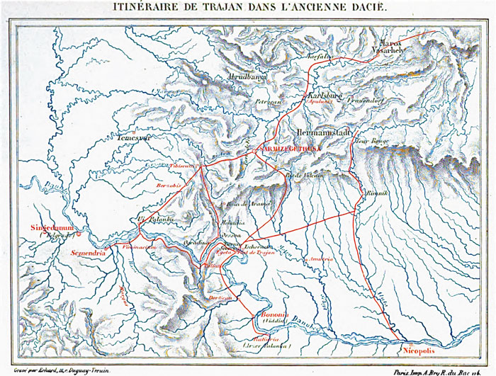
Right: Map of Roman (Froehner Book) roads in the Dacian Kingdom north of the Danube River (in present-day Transylvania and Wallachia, Romania)
Right: Examples of substantiive research documents spanning a 150 year period:
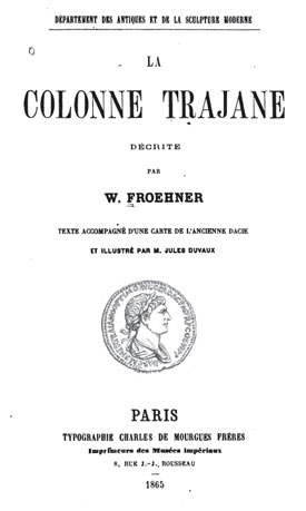
Froehner - 1865
Youcenar - 1954
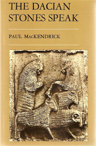
McKendrick - 1977
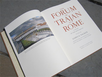
Packer - 1997
Boia - 1997
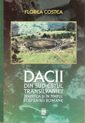
Costea - 2000
Stefan - 2005
Rogers - 2005, 2007
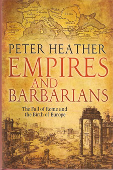
Heather - 2009
Grumeza - 2009
Velcescu -2010
Below:
While the Germanus map is generally accurate in establishing Dacian river-boundaries, there was no detailed knowledge of the interior as the Carpathian Mountains are not shown.
From the collection of Ovidiu Sandor


CLICK on map to enlarge.